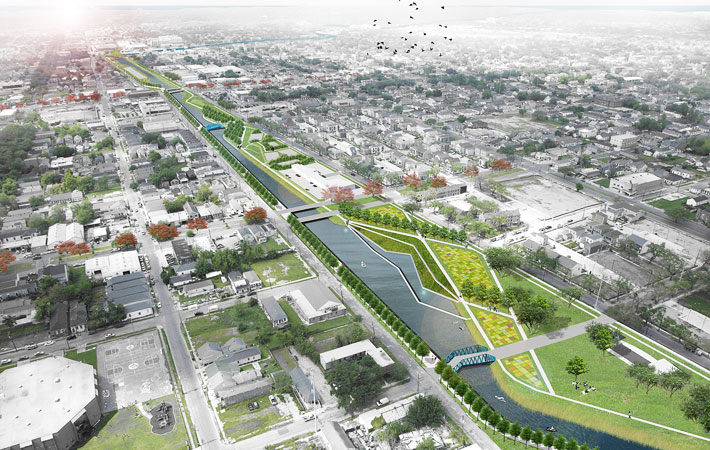
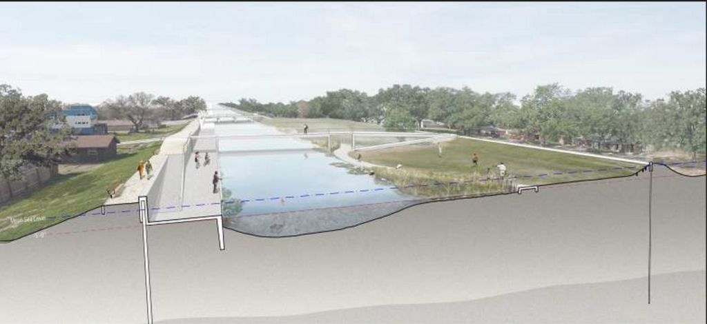
New Orleans, a vibrant American waterfront city, is actively embracing how to best live with water. In the wake of Hurricane Katrina, urban resiliency is top of mind; water is and will always be part of the city’s economic and cultural heritage. Learning how to manage this natural resource—not just in terms of super storms—but considering New Orleans’s heavy annual rainfall and subsidence issues caused by pumping stormwater are critical. “The consequences of the city’s current approach to water management, which removes stormwater as fast as possible, are visible in sinking land and broken infrastructure.”
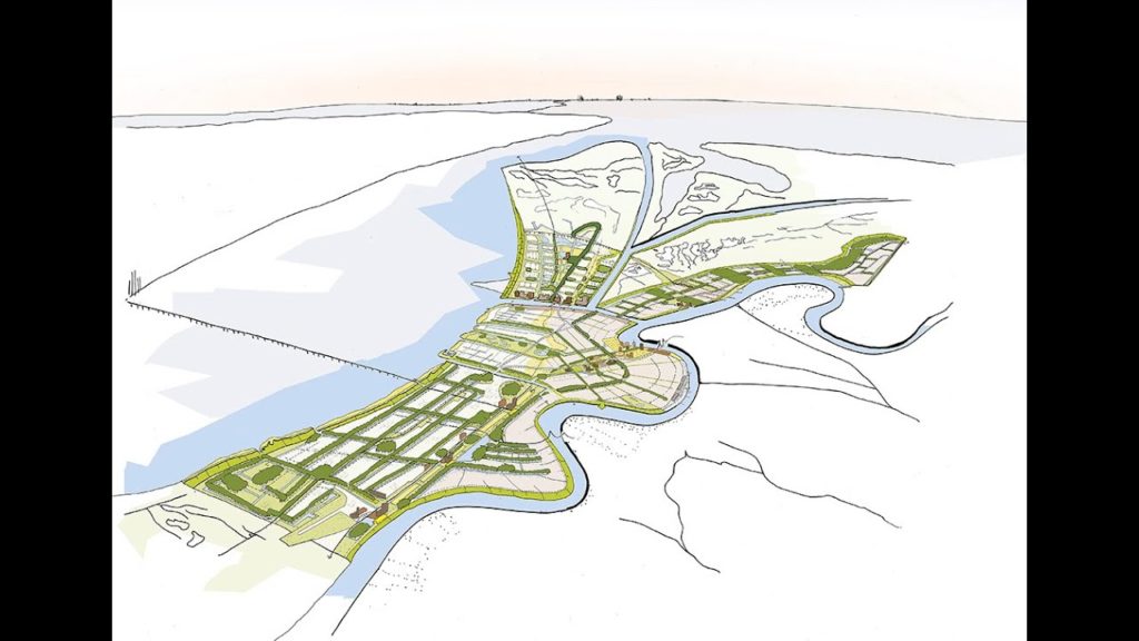
Sherwood offered strategic design direction for the Greater New Orleans Urban Water Plan, which outlines an integrated water strategy for the east banks of Orleans and Jefferson Parishes and St. Bernard Parish. The multi-national, multi-disciplinary team believes the new policy standards are world class and set an exemplary bar for municipalities worldwide.
Waggonner & Ball Architects
| Location | New Orleans, LA |
|---|---|
| Client | Greater New Orleans, Inc. |
| Design Partners | Waggonner & Ball Architects |
| Size | City Wide |
| Status | Completed 2014 |